

Explain Complex Cases with 3D Forensic Animation
About Our Approach
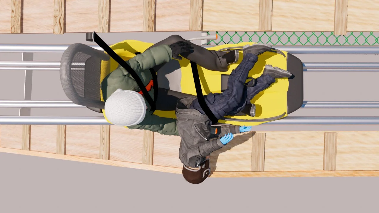
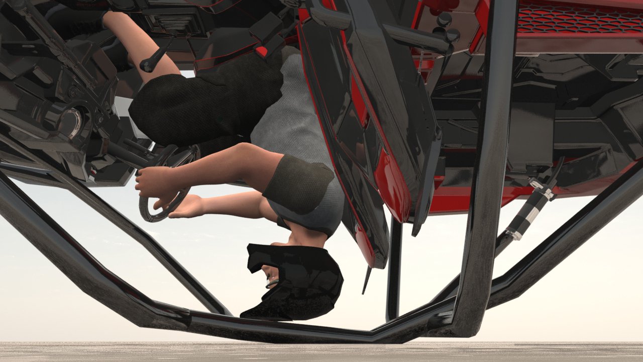
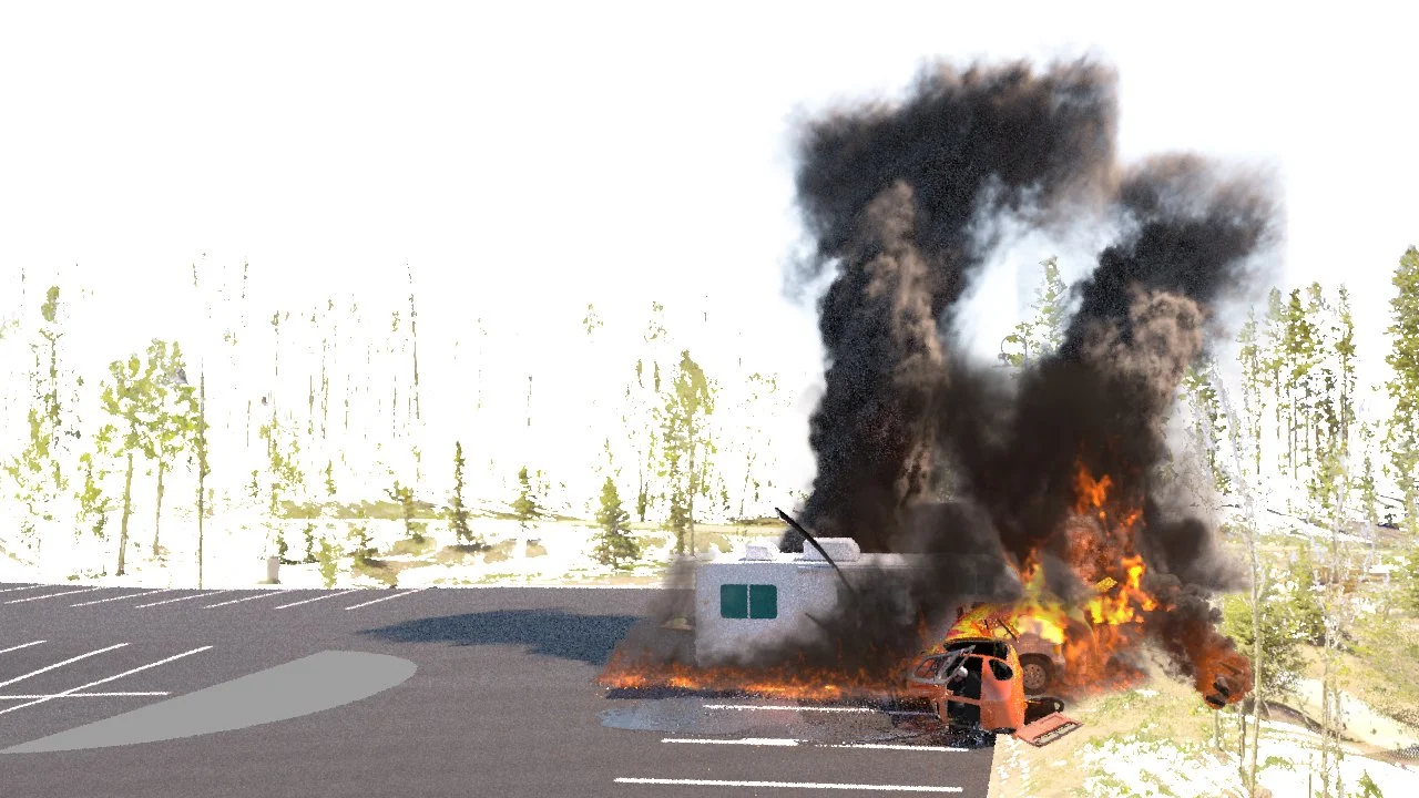
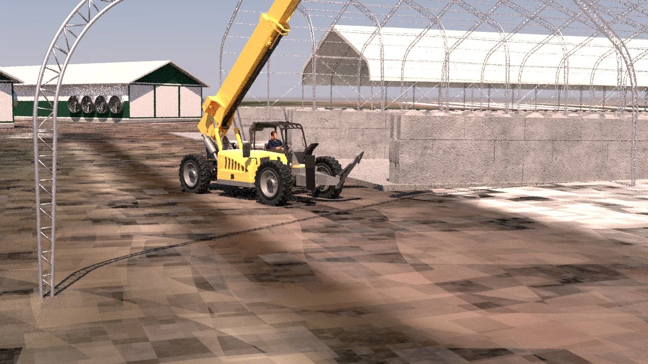
Most Mountain Graphix projects are rooted in GIS mapping and a site survey with a laser scanner. We research and obtain satellite imagery and a Digital Elevation Model to construct a 3D terrain that encompasses the incident location and its surroundings. We place the laser-scan points accurately into the 3D environment and populate the area with matching 3D meshes of critical elements relevant to the incident, such as 3D cars & roadways or 3D ski chair lifts and ski runs. Then we position and move the elements of the 3D scene to create a realistic animation or illustration of the incident to help clearly explain how the incident occurred.


Request a Consultation
Submit the form to initiate a discussion regarding your Video, Illustration, Forensic Animation or mapping needs.