What We Offer
GIS Mapping
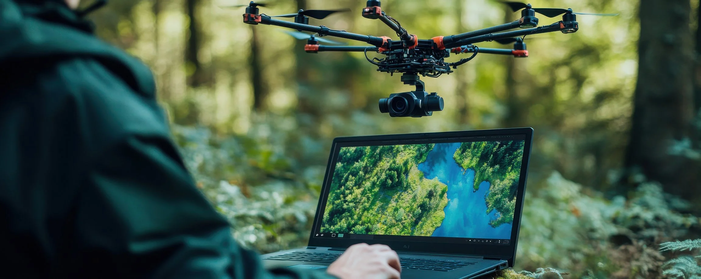
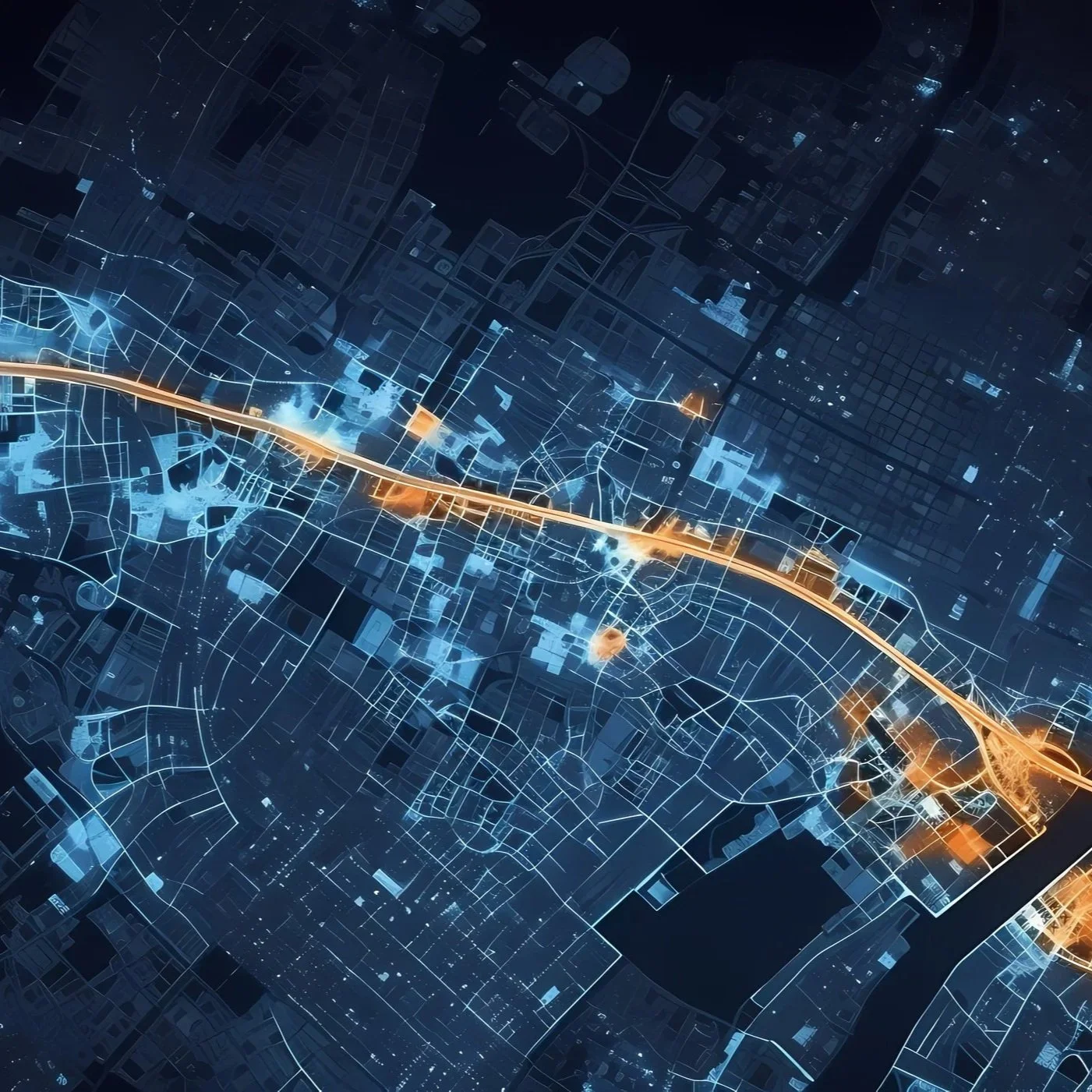
Most Mountain Graphix projects start with GIS mapping. GIS links data to geographic locations and then analyzing those locations to reveal patterns and relationships. GIS starts with information that has a location attached to it, such as GPS coordinates, Elevation Data, Satellite Imagery, Laser Scans.
Video Analysis
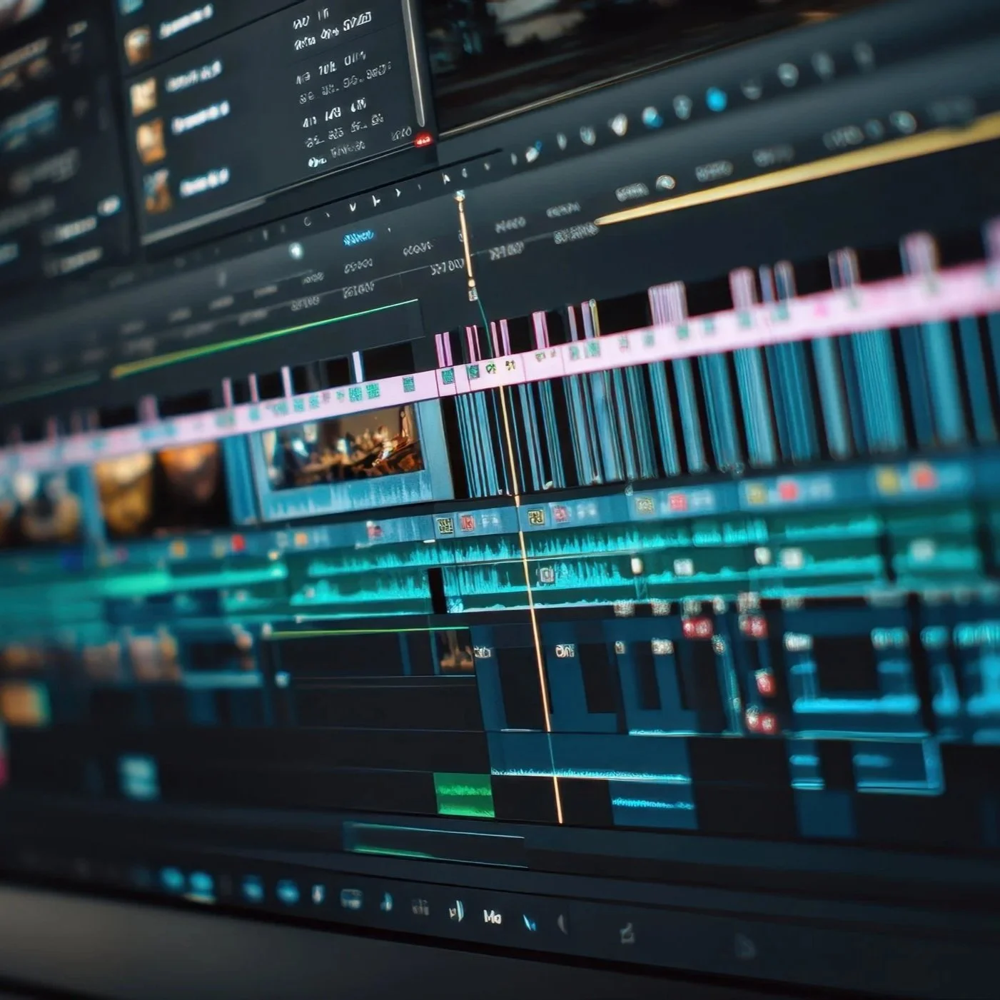
Video analysis is the scientific examination, enhancement, authentication, and interpretation of video recordings for use in investigations and legal proceedings. Its goal is to extract reliable information from video evidence while preserving the integrity of the original recording. This is used for identifying people and vehicles, determining the sequence of events, clarifying poor-quality video and synchronizing footage from multiple cameras.
3D Animation, Illustrations & Interactive Presentations
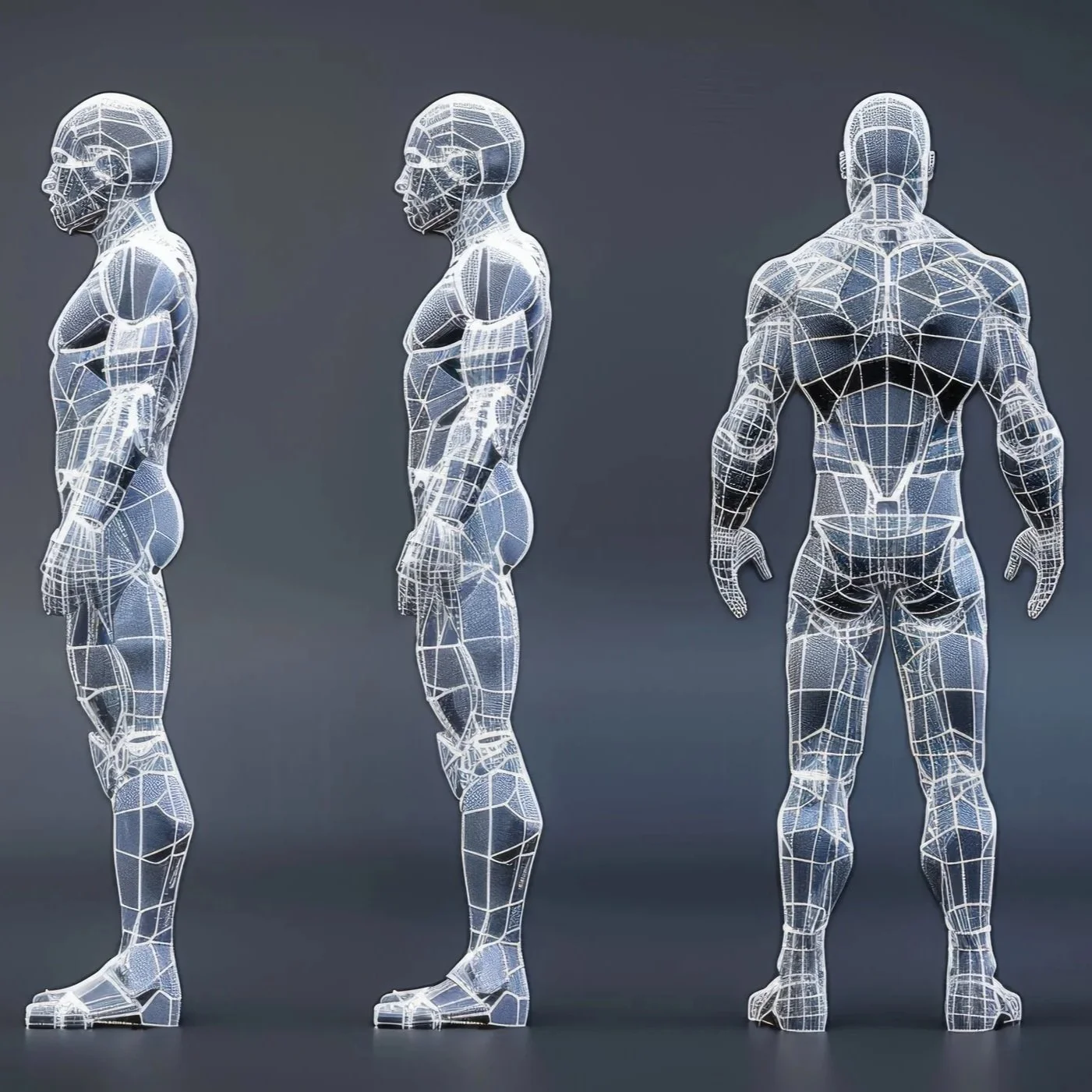
Mountain Graphix uses GIS mapping as a foundation along with accurate Laser Scans of an incident site. 3D characters and 3D objects are incorporated to construct a 3D scene. This may include ski lifts or vehicles or the interior objects in a convenient store. In collaboration with Biomechanical Engineers, the details of an incident are orchestrated for the purpose of Illustrations, Animations and Interactive 3D presentations.