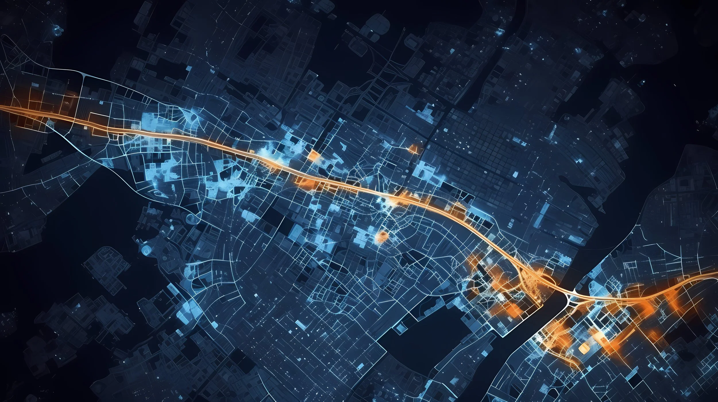
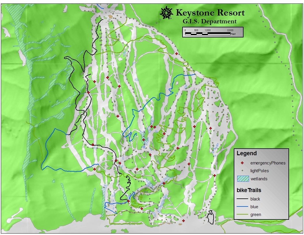
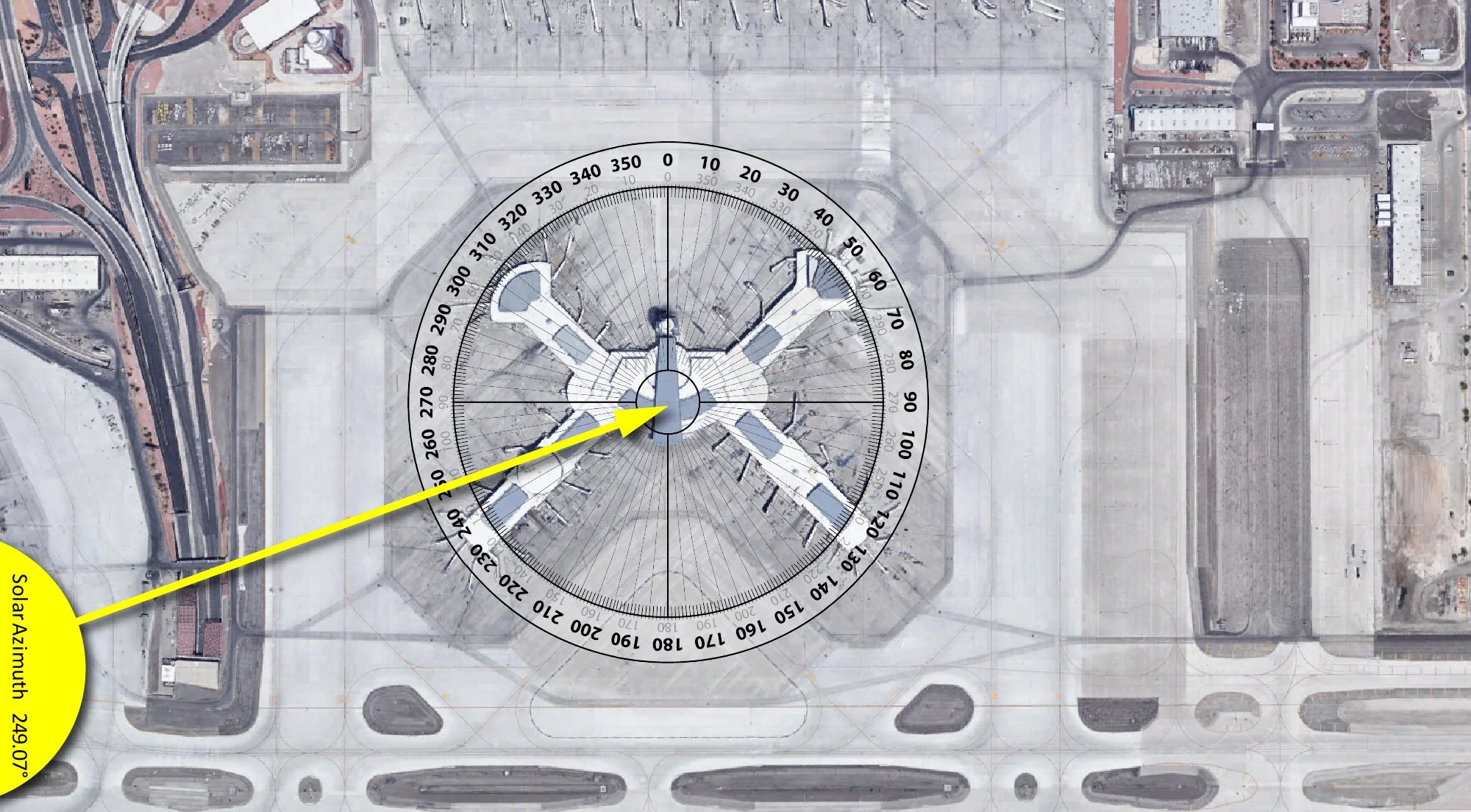
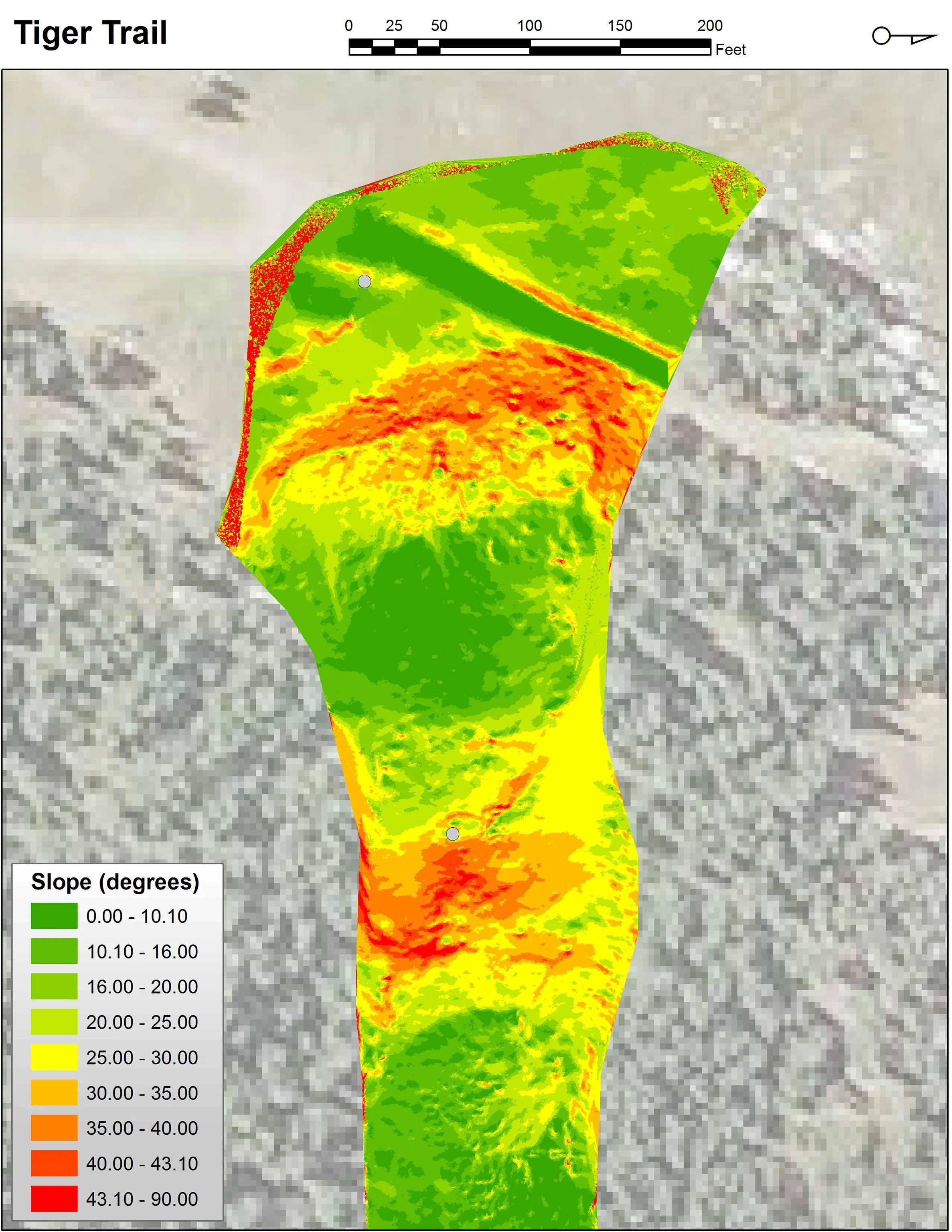
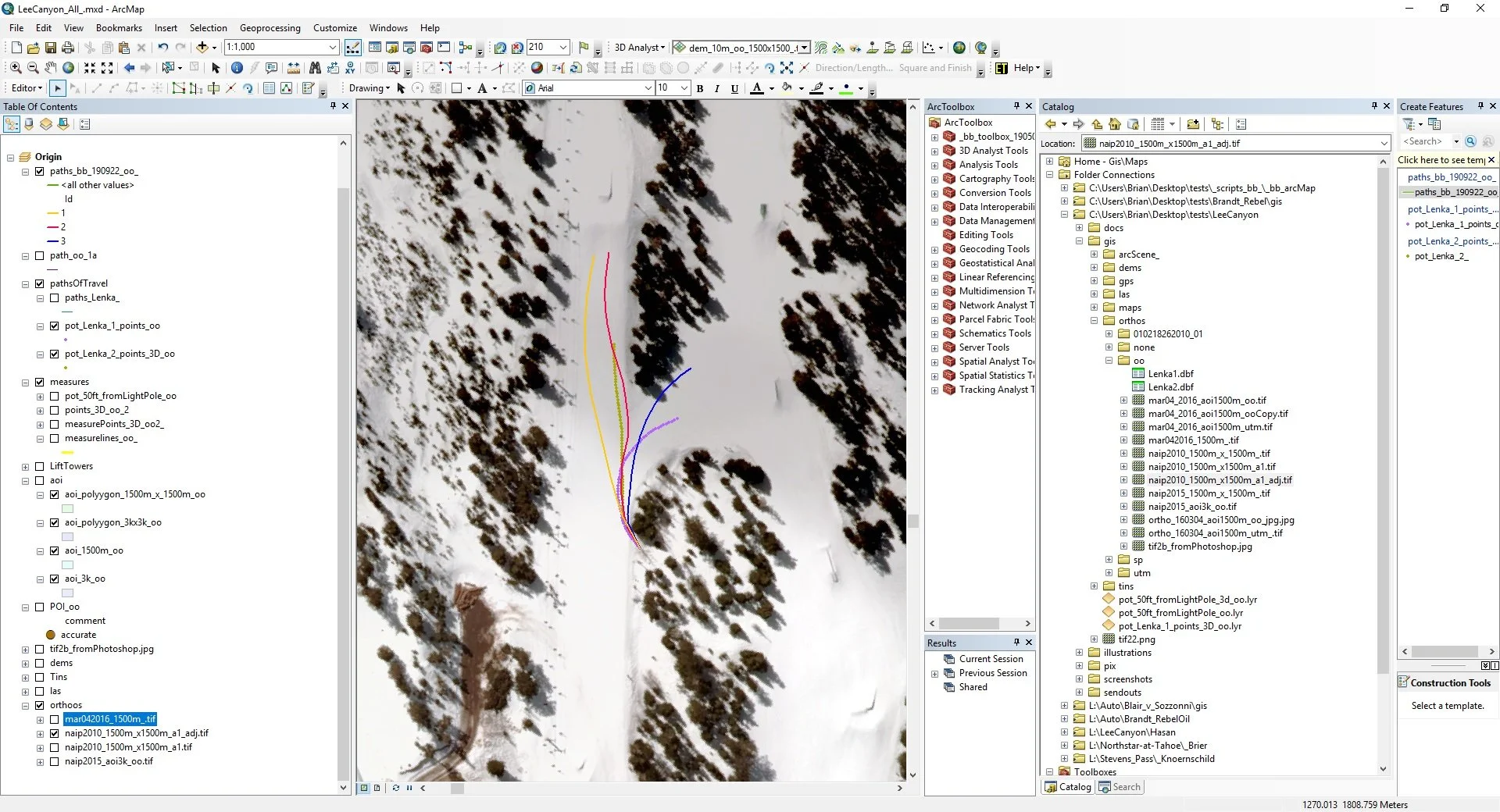
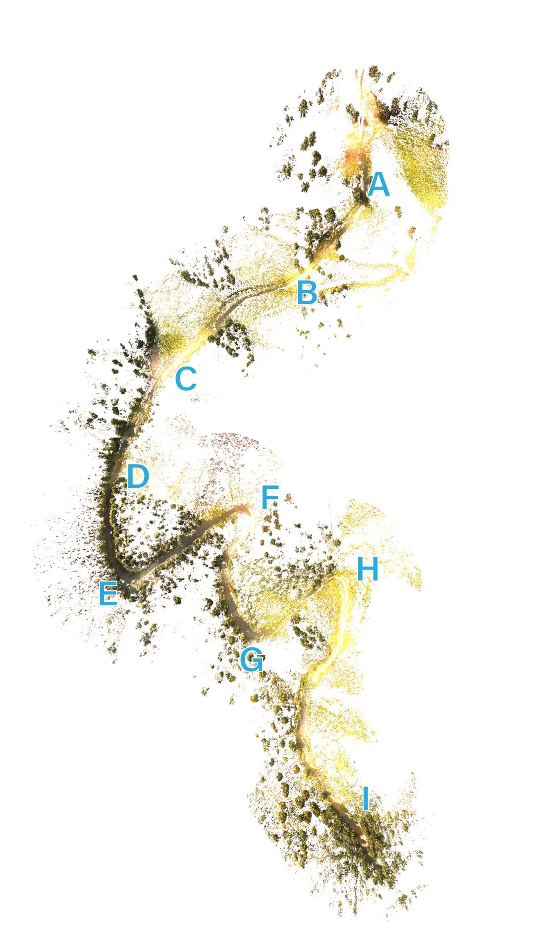
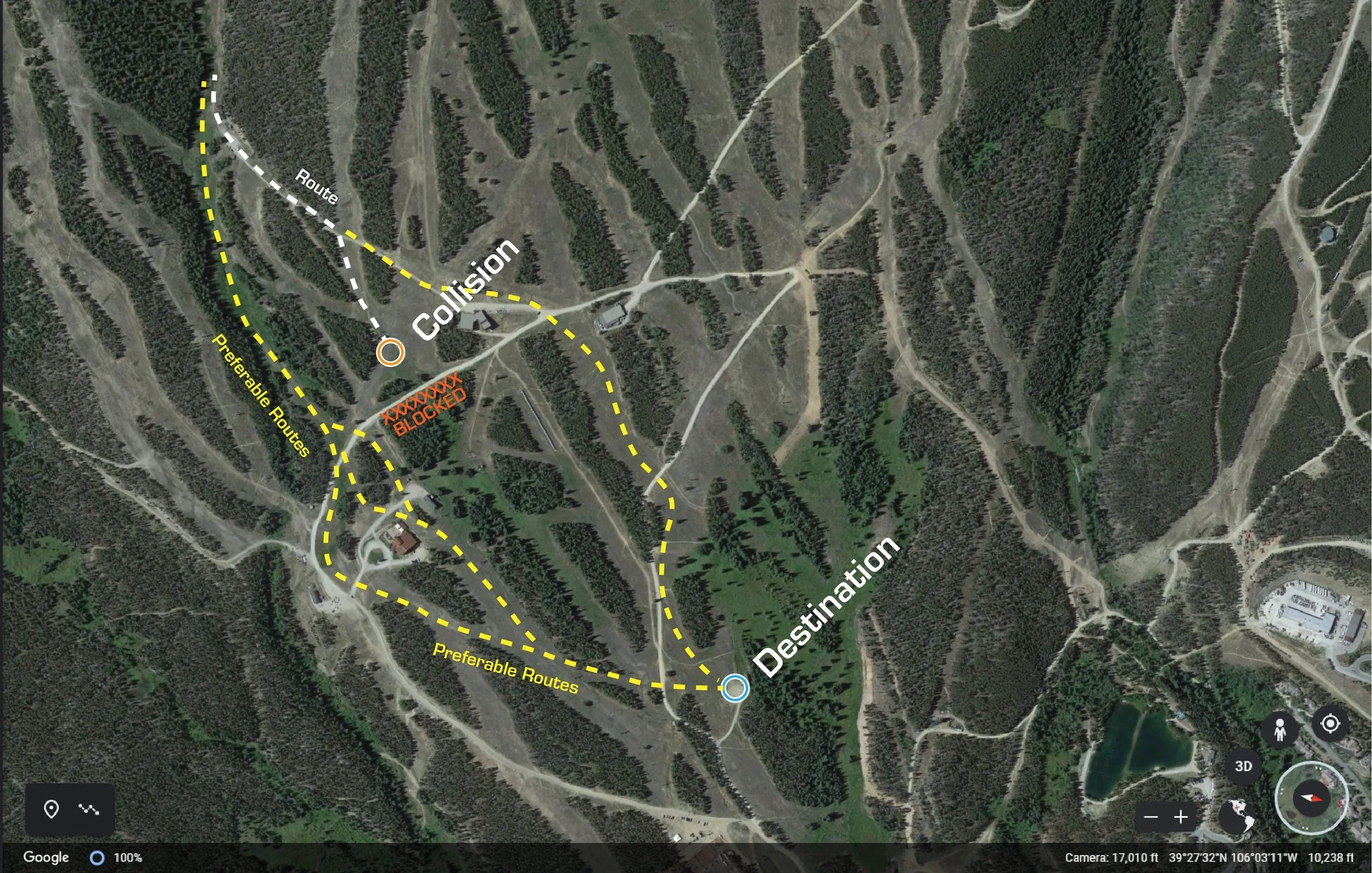
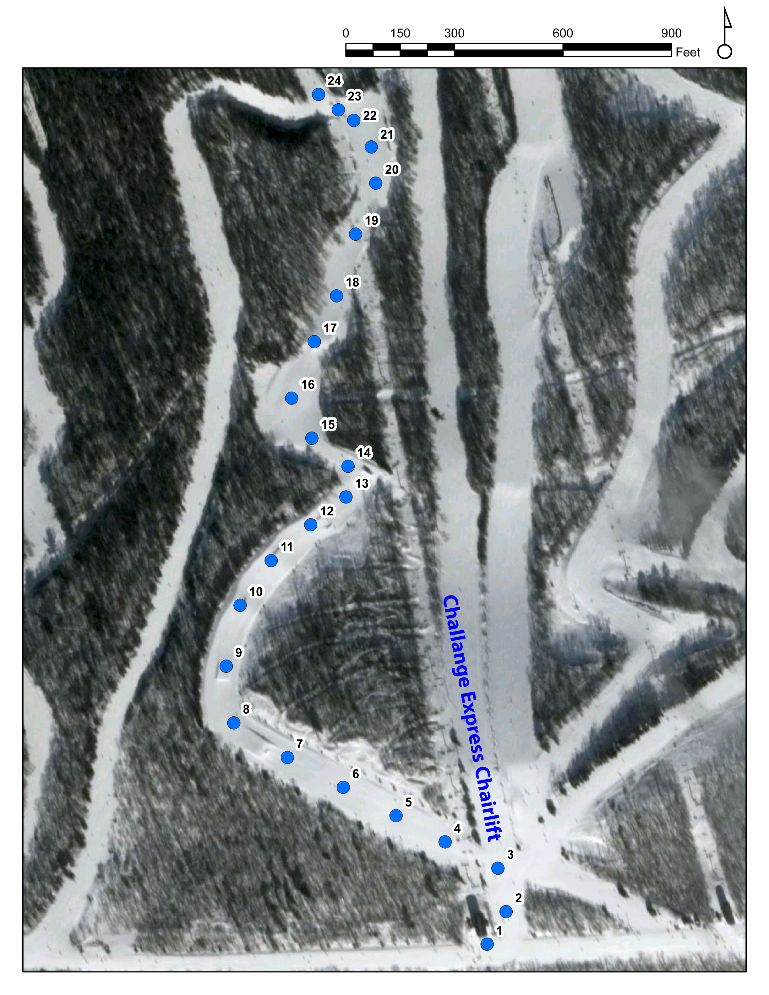
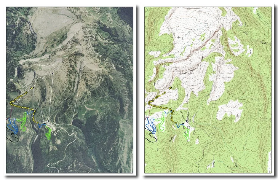
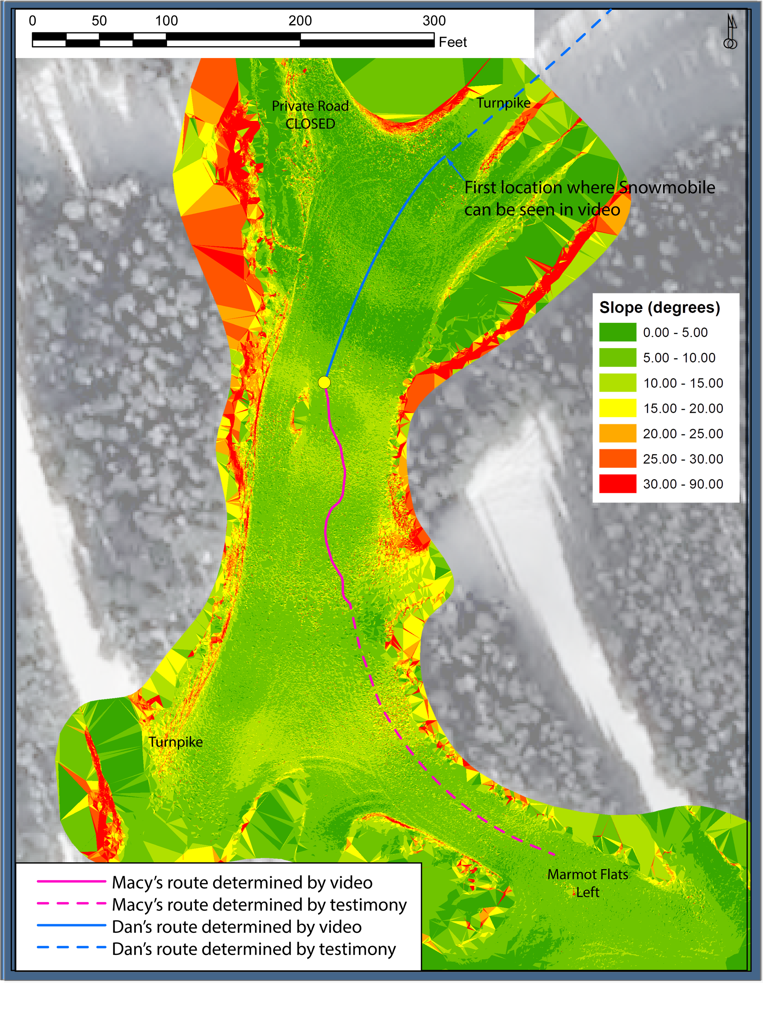
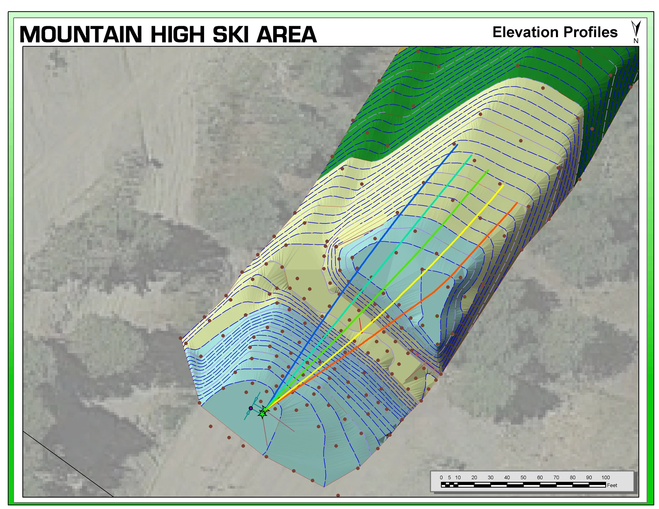
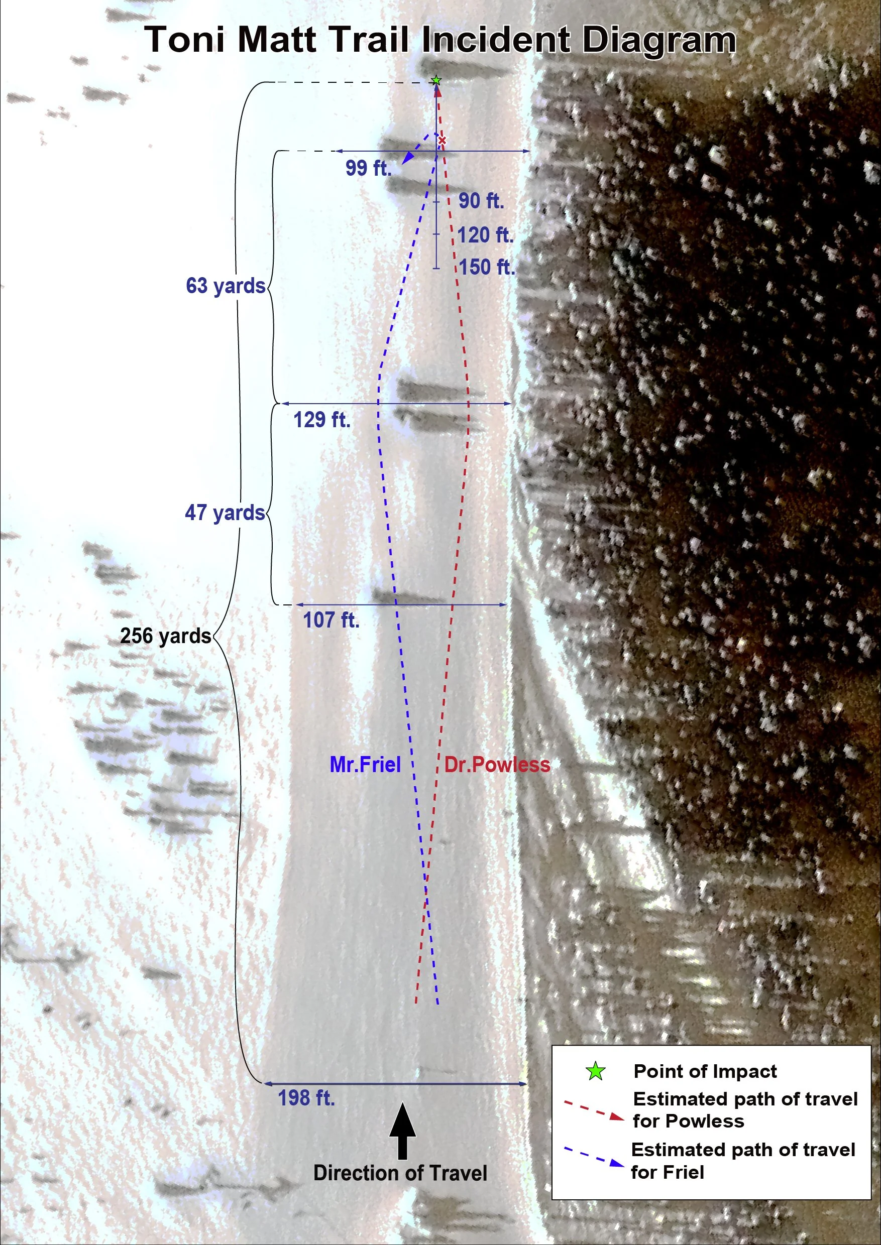
GIS Mapping
Computer-based system used to collect, store, manage, analyze, and display geographic or spatial data—data that is linked to locations on the Earth's surface.
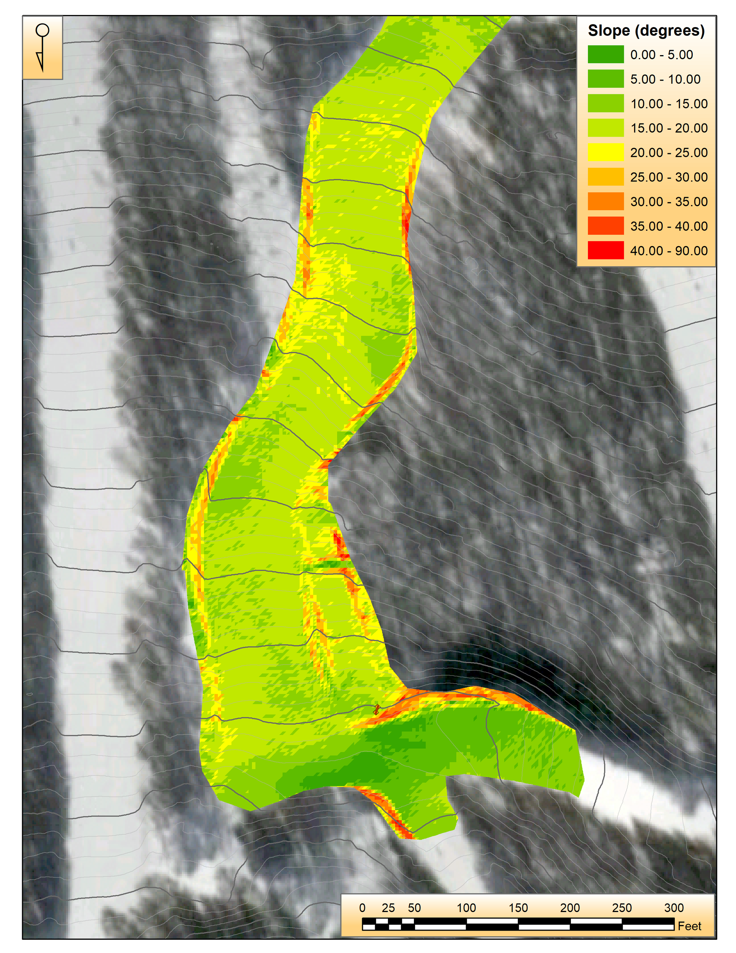
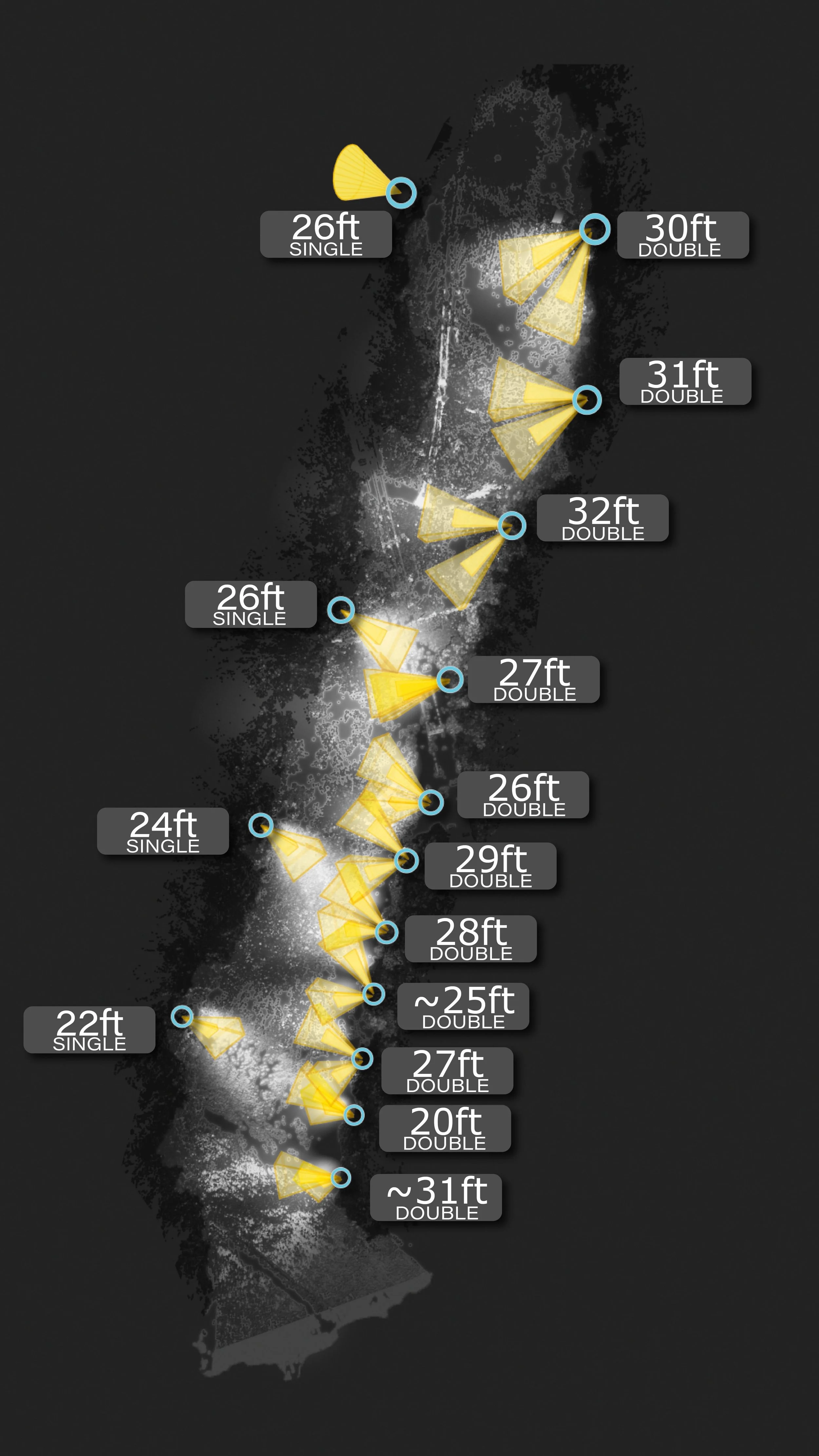
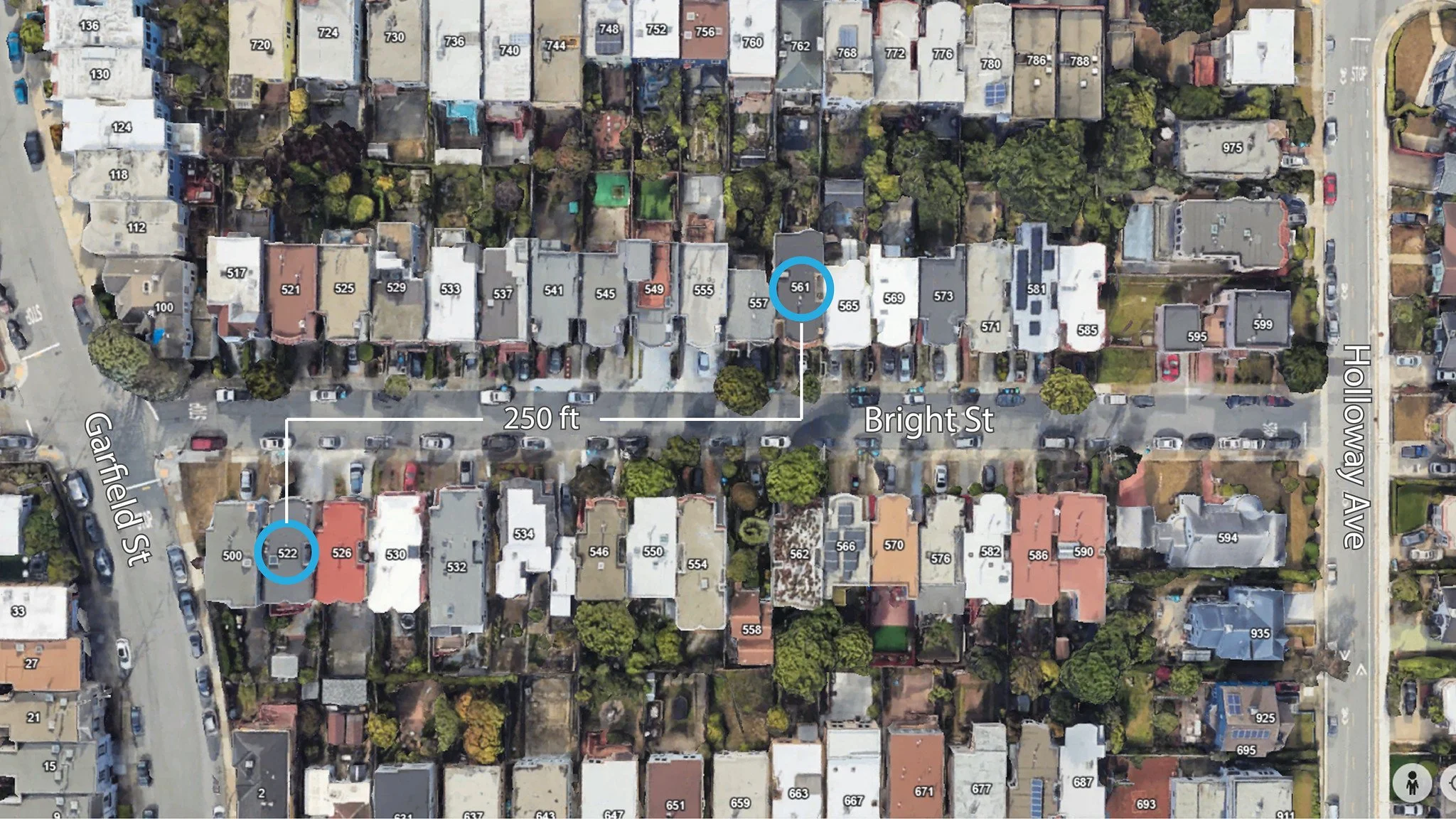
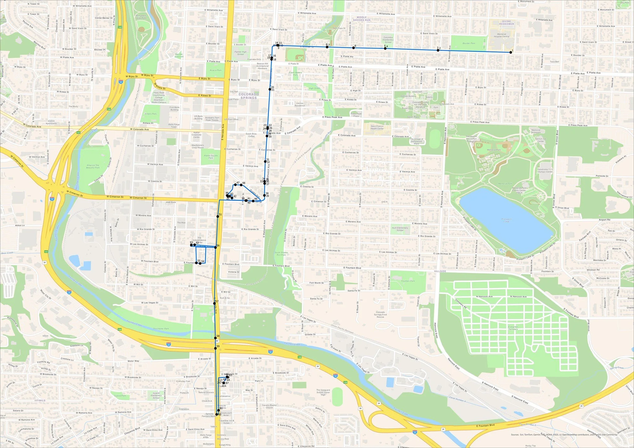
Computer-based system used to collect, store, manage, analyze, and display geographic or spatial data—data that is linked to locations on the Earth's surface.