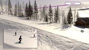
Deer Valley Paltrow - Downhill
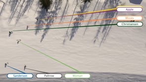
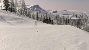
Mountain Graphix utilized GIS to create an accurate overall terrain and then utilized point cloud data scanned at the site during winter to building an accurate snow surface near the site of the incident.
Previous
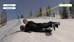
Deer Valley Paltrow - Position of Impact
Next