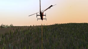
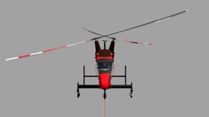
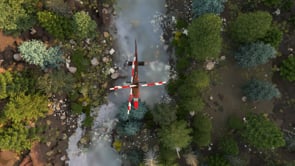
Kaman Accident Full Frame
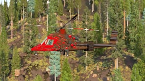
Mountain Graphix utilized GIS mapping to create 3D mesh of the V-shaped valley terrain where the incident occurred. High resolution terrain mesh was created for the area near the site of the accident based on drone footage. The dense forest in the area was created from both Satellite photos and drone footage.
Previous
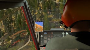
Kaman Cockpit
Next